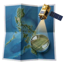
About Tanaw
Draw your farm. Plan crop rotations that fit its soil and a changing climate, from NASA Earth observations.
Tanaw helps farmers in Valencia City see their rice season from space and choose crop rotations that save water, rebuild soil and lower climate risk.
The farmer types nothing: they draw the field, and soil, drainage, farm history and climate are measured from satellites. The only input is which goals matter most.
Everything runs in the browser. No account, and nothing about the farm is uploaded or stored.
- Draw, don’t type
- Outline your field on the map. Soil, drainage, crop history, and local climate are read from satellite records.
- Stays on your device
- Everything is analysed in your browser. No account is needed, and no farm boundary is uploaded or stored.
- Built for Valencia City
- Calibrated for Bukidnon rice seasons using NASA Earth observations and ESA Sentinel-2 imagery.